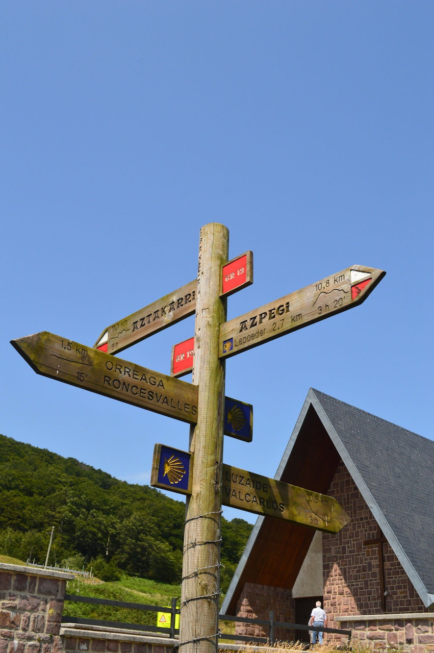
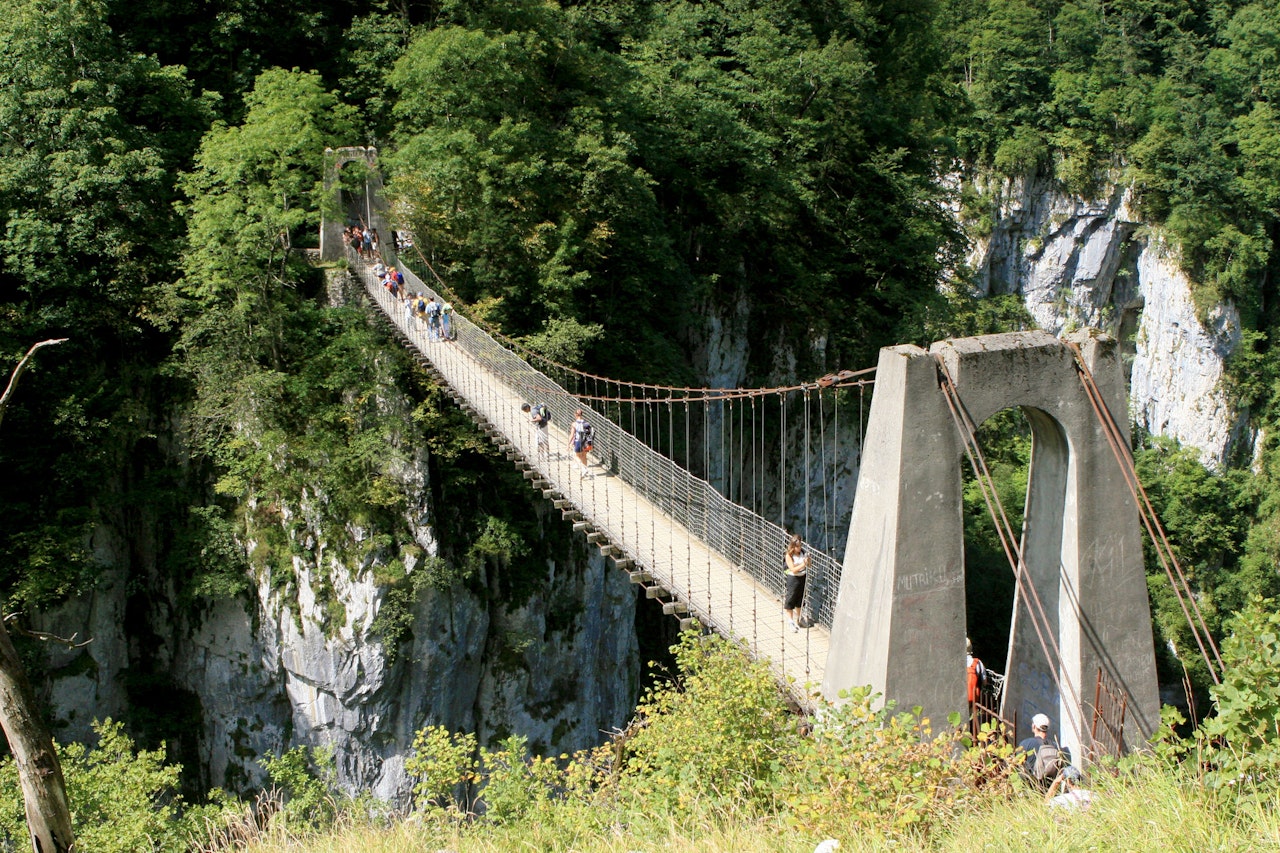
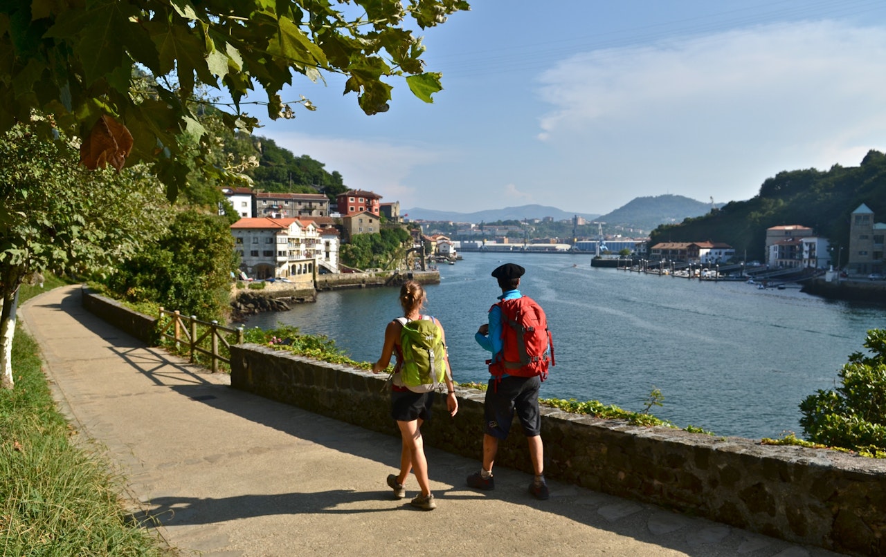
There are more than 5,000 km of hik­ing trails cross­ing the Pyre­nees-Atlan­tiques. These are high­light­ed in yel­low, are sign­post­ed and are main­tained by the local author­i­ties. Walk­ing is a pleas­ant way to dis­cov­er the sur­round­ings of Domaine d’Esperbasque. 

We made a selec­tion of routes we rec­om­mend. Many of them have the camp­site as a start­ing point, oth­ers are fur­ther away so you need to reach the start­ing point by car. It is pos­si­ble to down­load (for use on eg smart­phone, tablet, ..) a PDF of the route and view the route in Google Maps.

The routes are also avail­able at the camp­site reception.

Pain de Sucre

2.3 km

View Route   Get KML File


La Pêne de Mu

2.9 km

View Route   Get KML File


Chemin de Bur - Oraas

8.3 km

View Route   Get KML File


Beigmau - Antys

8.5 km

View Route   Get KML File


Chemin de Mur

9.8 km

View Route   Get KML File


Lou Hour

9.8 km

View Route   Get KML File


Le Chemin Royal

10 km

View Route   Get KML File


Hopital d'Orion - Cout

11.9 km

View Route   Get KML File


Route des Moulins

12.1 km

View Route   Get KML File


Chemin de Mur - Castagnede

19 km

View Route   Get KML File


Lasbordes - Sauveterre - Andrein - Beigmau

21.8 km

View Route   Get KML File